 |
Hands-on GPS and Remote Sensing Training for High School Learners during IGARSS 2009 In Cape Town, South Africa - Paper (PDF)
Dr. Linda Hayden: PI, Center of Excellence in Remote Sensing Education and Research, ECSU |
|
| |
|
 |
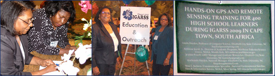
Multi-Channel Radar Depth Sounder (MCRDS) Signal Processing: A Distributed Computing Approach
Je'aime Powell: Polar Grid, Elizabeth City State University - Poster Presentation |
|
| |
 |
The Applicability of GIS and Remote Sensing in Identifying PBDES Sources Using NOAA National Status & Trends Mussel Watch Program Data
Patrina Bly:
National Oceanic Atmospheric Administration, National Ocean Service - Poster |
|
| |
|
 |
Submerged Aquatic Vegetation Habitat Product Development: An Interdisciplinary GIS Experience
Chelsea Vick:
Center of Excellence in Remote Sensing Education and Research (CERSER), ECSU
Poster |
|
| |
|
 |
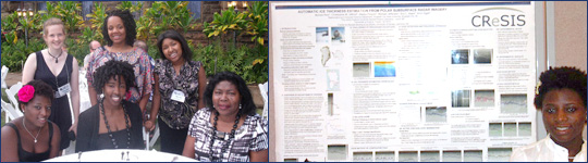
Automated Polar Ice Thickness Estimation from Radar Imagery
MyAsia Reid: Center for the Remote Sensing of Ice Sheets (CReSIS), KU
Poster |
|
| |
|
 |
Investigation of Cirrus Clouds Using the CALIPSO LIDAR Data
Sydney Paul: Hampton University
Abstract |
 |
| |
|
 |
Progress in Arctic Sea Ice Remote Sensing
Charles Luther: MTP mentor
Abstract |
 |
| |
|
 |
Regional Aerosol Transport Study Using a Compact Aircraft Lidar
Jasper Lewis: Hampton University
Abstract |
 |
| |
|