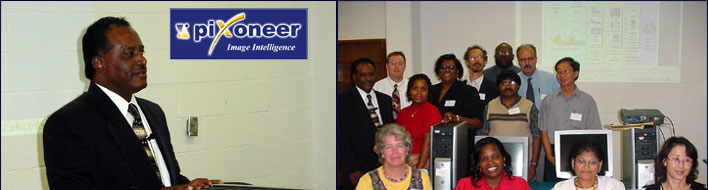
| On Monday,
October 7 and Tuesday, October 8, 2002, Dr. Mohamed Mohamed presented
a workshop on EARTH: Pixoneer Software for Remote Sensing Education.
|
| The purpose
of the workshop was to introduce and discuss a remote sensing class
curriculum using EARTH software by Pixoneer. This course provides
an introduction to electromagnetic spectrum, basic spectral properties
of earth surface features, energy interaction with the atmosphere,
and spectral response patterns of surface features. It also provides
an overview of electro-optical remote sensing systems including airborne
and space-borne photographic cameras, multi-spectral, thermal, and
hyper-spectral sensors. The emphasis is on digital data formats and
characteristics, as well as background on photogrammetric procedures
and techniques used in image rectification, image enhancement, image
classification, and integration of remote sensing and geographic information
systems (GIS). |
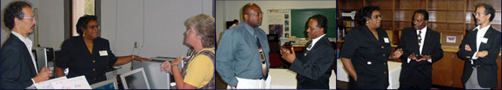
| Workshop
participants came from Elizabeth City State University, Norfolk State
University, Virginia State University, University of North Carolina
at Pembroke, Boston University, North Carolina A&T University,
NOAA-National Weather Service, and NOAA-NESDIS. |
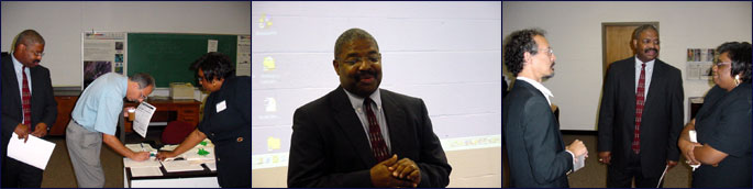
| Pixoneer
Workshop Opening and Registration - Dr. Ronald Blackman, Dean
School of Mathematics, Science and Technology, Interim
|
 |
| |
| Pixoneer
Workshop (topics) |
 |
|
| |
|
