|  The
goals of this project are to develop a long-term record
of seagrass bed extent, focusing primarily on the historical
changes that have occurred to the deep-edge, and tie
this in with historical changes in water-quality. The
data gathered from this internship project will be used
to calibrate a model of light attenuation for seagrass
habitat requirements. This model is being developed
as a tool to assist managers with monitoring water-quality
to protect seagrasses, a critical estuarine habitat
in North Carolina. The
goals of this project are to develop a long-term record
of seagrass bed extent, focusing primarily on the historical
changes that have occurred to the deep-edge, and tie
this in with historical changes in water-quality. The
data gathered from this internship project will be used
to calibrate a model of light attenuation for seagrass
habitat requirements. This model is being developed
as a tool to assist managers with monitoring water-quality
to protect seagrasses, a critical estuarine habitat
in North Carolina.
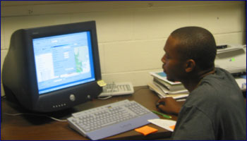
ArcMap
was used to create maps that show how Chlorophyll a,
TSS, and CDOM affect water quality. Pathfinder Office
was used to locate the deep-edge sites, and to put the
site locations into ArcMap. Each map showed how one
component’s value affected water quality for one
day. These raster layers were then combined using the
spatial analyst extention in ArcMap to form a raster
layer that gave important information on how predefined
thresholds were being exceeded. The thresholds are the
highest values of CDOM, TSS, and Chlorophyll that can
be present and still allow enough sunlight to get to
the seagrass. Areas where the thresholds were exceeded
are unfavorable for seagrass growth.
Future
developments for this model aim to include remote-sensing
information in near-real time to enable timely and appropriate
management actions to be made. |