During
the first
week of the
research
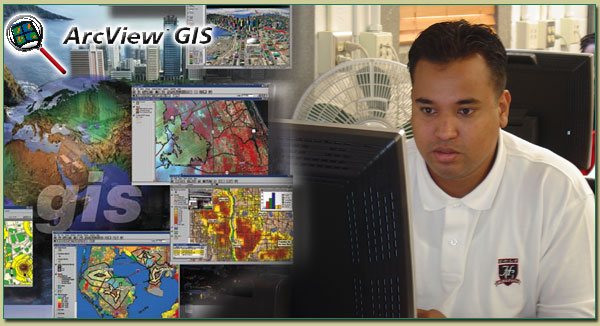
program, GIS
(Geographic
Information
Systems) basic
and advanced
topics were covered
along with the
software program
Arcview by Mrs.
Keisha Wilkins, GIS/RS
Instructor. Arcview
is a desktop
mapping program
produced by ESRI
(Environmental
Systems Research
Institute, Inc.)
that allows you
to create your
own maps from
scratch starting
with geographic
data in electronic
form.
|