|
GIS-Arcview
Training with Dr. Chunlei Fan (Curriculum
Vitae)
18-19 May, 2004
Room 229 Dixon Hall
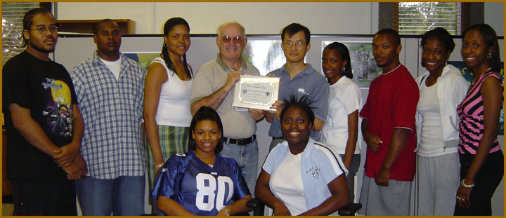
To the Photo Page
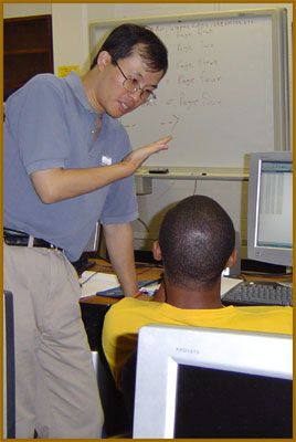
On May 18th and 19th, the Undergraduate Research Experience
in Ocean and Marine Sciences program took part in GIS-Arcview
training with Dr. Chunlei Fan of
the Delaware
Department of Natural Resources at Delaware State University.
GIS (Geographic Information Systems) basic and advanced topics
were covered along with the software program Arcview. Arcview
is a desktop mapping program produced by ESRI (Environmental
Systems Research Institute, Inc.) that allows you to create
your own maps from scratch starting with geographic data in
electronic form. For more photos of the training session,
proceed to the photo page.
|