|
The
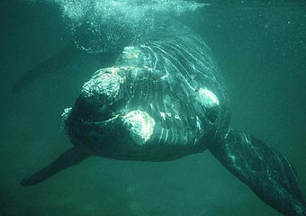
survival of endangered species plays an important role in our environment.
Right whales are highly endangered and are sometimes killed by boats or
entanglement in fishing gear. We studied the relationship between right
whales and sea surface temperature to see if it might be feasible to predict
where the whales will be in order to alert boats.
We used
right whale sighting data from aerial surveys of waters near Massachusetts,
USA. Sea surface temperature data was collected from NOAA’s AVHRR
satellites. We were only able to find eight clear satellite images among the
days with right whale sighing data. This allowed only minimal quantities
analysis. Nevertheless, we believe that it might be possible with more data
to predict right whale distribution using remote sensing.
 |