EARTH
Software Training, Dr. Mohamed Mohamed,
07/08/03-07/09/03
URE
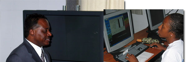
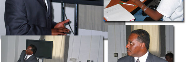
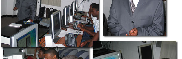
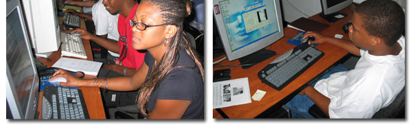
OMSS students attended two days of instruction
in the software EARTH from Pixoneer Geomatics.
The training was led by Dr. Mohamed Mohamed of
Pixoneer Geomatics.
Dr. Mohamed Mohamed has 17 years of experience
in use of remote sensing, and geographic information
system (GIS) for natural resources management,
environmental monitoring, land use/land cover
mapping, cartographic map publishing operation,
and governmental and commercial applications.
He holds a Bachelor Degree with Honors in Forestry
from University of Khartoum-Sudan (1984), a Master
Degree in Remote Sensing from University of Wisconsin-Madison
(1988), and a Philosophy Doctorate Degree in GIS/Remote
Sensing from University of Wisconsin-Madison (1997).
Dr. Mohamed taught remote sensing and GIS classes
at University of Wisconsin-Madison and Dillard
University in New Orleans, Louisiana. He also
conducted, coordinated and supervised a variety
of research activities at universities, Lockheed
Martin/NASA Stennis Space Center, Raytheon, and
Pixoneer Geomatics.
|