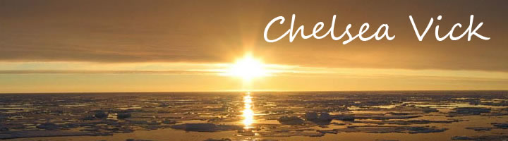
| Home | Resume | Statement | Research | Links |
Research 2009-2010 Undergraduate Research Experience Community informatics as a critical aspect of advancing geosciences skill sets where intentional focus is placed on earth science project based learning. In this effort, use of geographical information systems and ground penetrating radar basic are discussed a plausible means earth science investigation. Our goal here is to indentify learning curves, terminology and earth science concepts suitable in procuring a skill set in two separate earth science investigations. The basis of community informatics is it that an interdisciplinary approach is necessary. In this specific case, we are investigating at marine sea grass classifications with GIS procedure and GPR instructional procedures for carbon spherule location caused in the Younger Dyras period of a terrestrial impact. Both efforts should map pedagogical challenges for future sustainable research. 2008-2009 The 2008 – 2009 Polar Grid team focused on the permanent installation of a Condor-based test cluster. Network topography, naming schemes, user management, and compatibility concerns were the primary foci of the implementation. The machines targeted were the SunFire V480 management server and several SunBlade 150 workstations as workers all running Solaris 10 as the primary operating system. The Condor High Throughput Computing software was utilized as a scheduler for jobs submitted to the server and then distributed to the workers.
Summer 2008 The purpose of this research was to set up wireless communication between nodes with development and testing of a data storage logger for seismic monitoring of ice sheets. Seismic data can provide a detailed picture of the nature of the ice at a given location. This is especially important in order to understand and predict the role of polar ice sheets in sea level change. The urgency of addressing the impact of climate change makes it imperative that the scientists receive data quickly. This project consisted of the development of a wireless sensor network with a removable device that would be able to store an abundance of data rapidly using a small platform. The development of a small embedded system that can be easily deployed, which stores data onto a USB drive was the main goal. Included in this design is the implementation of a data logger. The USB drive inserted into the data logger would inevitably be connected to a computer for viewing and analyzing of the seismic data collected. This research has also emerged from the need for high-speed data collection and storage of seismic data, which has resulted from the high collection rate of 240 Kbps per node being processed. Therefore, an inexpensively built platform that could support the high data rate was constructed. Implementing a wireless network with a USB connection for data storage instead of through a serial port will allow for more expedient data transfer, less maintenance, and will facilitate for more advances technologically. 2007-2008 Undergraduate Research Experience The Center for Remote Sensing of Ice Sheets (CReSIS) headed at the University of Kansas (KU) was funded by the National Science Foundation (NSF) to explore the polar regions (Greenland and Antarctica), and research the various changes occuring with ice sheets. CReSIS uses various types of radar to analyze ice sheet data. Researchers use radar to probe the ice sheets to get huge amounts of data- Synthetic Aperture Radar (SAR) data. SAR data contains more information on the ice sheets for discovery. During the International Polar Year (IPY 2007-2009), luminous data sets will be obtained- Terabytes of data will be in just one field campaign. This means large storage devices and fast computers (multi-core) will be needed to process the data sets and retrieve results in a timely manner, which will outstrip the current capacity of the grids of storage and computers. In response, Indiana University (IU), Elizabeth City State University (ECSU), and the University of Kansas (KU) initiated a Polar Grid project for the purpose to set up a Cyber “Infrastructure for Remote Sensing of Ice Sheets". This Grid will consist of the state-of-the-art computers and storage hardware, and also application/processing tools, and scientific gateways for the Polar Science Community to conveniently access the resources. It is important, too, to educate and train the researches, educators, and students for polar science. The Center of Excellence in Remote Sensing Education and Research (CERSER) of ECSU has committed to engage the students and train them for polar science with hand-on practices and skills for future study, research and career dedications to the polar science field. To provide support for Polar data collection, an advanced scientific programming and visualization environment will be used to develop interfaces for computation and visualization- compute-intensive tasks such as in big array operations. In this project, Interactive Data Language (IDL) was investigated as the package for efficient and convenient data visualization capacities in the forms of graphics, images and photographs. 2D and 3D require intensive computation and efficient visualization, which are crucial for the Polar Grid project.
|
| cjvick@mail.ecsu.edu |
 |