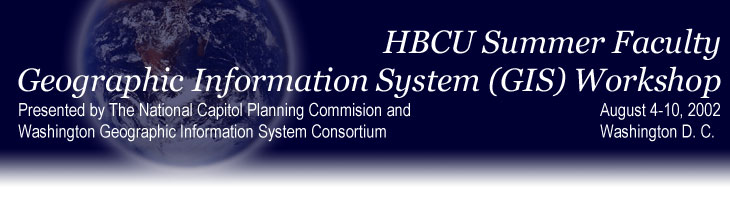
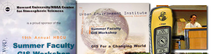
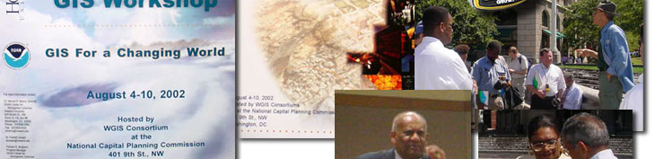
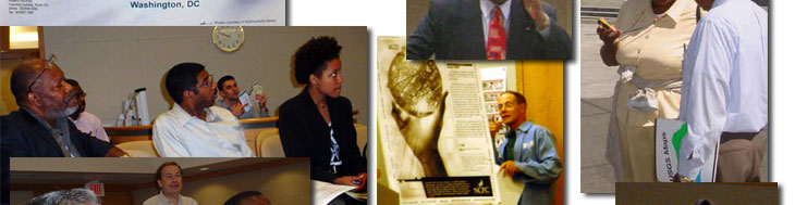
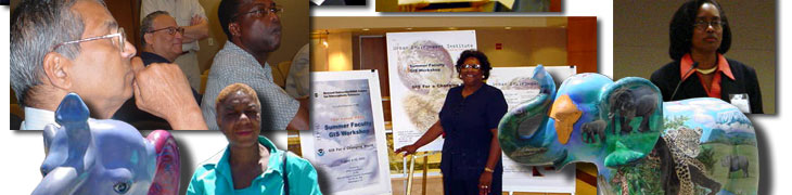
The
National Capital Planning Commission and the Washington Geographic
Information system Consortium hosted the Historically Black
College and University Summer Faculty Geographic Information
System(GIS) Workshop August 4-10, 2002 in Washington, DC. Howard
University¹s Continuing Education Program coordinates this
annual workshop with the support of federal agencies. Faculty
members from Historically Black Colleges and Universities participated
in this year¹s program. GIS is a computer mapping technology
that allows users to link aerial photographs, images, and data
to digital street networks, buildings, sidewalks and other elements
of the built environment. The technology is currently being
applied to numerous homeland security initiatives. The
National Capital Planning Commission and the Washington Geographic
Information system Consortium hosted the Historically Black
College and University Summer Faculty Geographic Information
System(GIS) Workshop August 4-10, 2002 in Washington, DC. Howard
University¹s Continuing Education Program coordinates this
annual workshop with the support of federal agencies. Faculty
members from Historically Black Colleges and Universities participated
in this year¹s program. GIS is a computer mapping technology
that allows users to link aerial photographs, images, and data
to digital street networks, buildings, sidewalks and other elements
of the built environment. The technology is currently being
applied to numerous homeland security initiatives. |
|