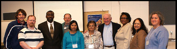
The Geographic Information System, Global Positioning System, Remote Sensing Workshop for Faculty, Students, Extension Specialist and Farmers was hosted on the Campus of Elizabeth City State University, Elizabeth City, North Carolina April 18-20, 2012. This Workshop was led by cooperating University Delaware State, and funded from the Collaborative USDA Capacity Building Teaching Grant. Invited Collaborators and Trainers included Dr. Reginald Fletcher and Dr. Jinchun Yuan.
::Workshop Schdeule PDF::
Biosketches
USDA ARS Collaborators & Trainers
Dr. Reginald Fletcher is a Research Soil Scientist at Kika De La Garza Agricultural Research Center at Weslaco, Texas. Dr. Fletcher received his Ph.D. in Plant & Soil Science from Alabama A&M University. Dr. Fletcher’s research activities include pest management & natural resource management by the application of remote sensing, GIS, & GPS technologies.|
Dr. Jinchun Yuan is an Associate Professor, Department of Chemistry, Geology and Physics t ECSU. He is a marine geochemist that used remote sensing technology as a research tool. He is teaching chemistry, geology and remote sensing courses and has written 10 peer reviewed research papers.
Project Director & Co-Directors
Dr. Gulnihal Ozbay (Project Director) is a Research Associate Professor, Department of Agriculture & Natural Resources at DSU. She is the Project Director of two USDA funded GIS Grants for GIS. Her research is in the areas of Aquaculture & Fisheries with emphasis on water quality, mariculture, nutrient management, habitat restoration, and shellfish food safety. Dr. Ozbay uses GIS for studying the environmental degradation at the Delaware & Inland Bays in Delaware.
Dr. Shobha Sriharan (Co-Project Director) is a Professor, Department of Agriculture & Human Ecology at VSU. She is the former project director of the USDA Grants on Integrating GIS in instruction and current director for the global climate change, training students in writing case studies on global issues & video Conferencing. She is also the project director of the NIH-Bridges Program & NIH EARDA programs. As a NASA Fellow, She has used remote sensing for land cover analysis.
Dr. Francisco San Juan, Jr. (Co-Project Director) is a Professor in the Department of Chemistry, Geology & Physics at ECSU. He is a geologist with a strong background in geochemistry. For 26 years, he has been teaching geology, physical, marine and environmental sciences, GIS and remote sensing. Research projects include NSF funded Enhancement of curriculum for a minor in GIS and Remote Sensing, and NOAA, NSF, USDOE, and Department of the Army grant programs. He is presently interested in using GIS in environmental studies, specially wetlands, and heavy metals in tap water, surface waters and bottom sediments.
Dr. Anupma Prakash (Co-Project Director) is a Professor and Co-Chair of the Department of Geology & Geophysics at UFA. She is a geologist and a remote sensing expert. Her research interest is in using remote sensing and geographic information system (GIS) techniques for mapping Earth surface composition and change. Since coming to Alaska in 2002, she has been involved in a variety of mapping and exploration projects in Alaska. She is keenly interested in using the synergy of different types of remote sensing data (optical, thermal, microwave, lidar, EM etc.) from satellites and airborne platforms for mapping and process modeling. |