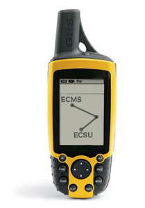
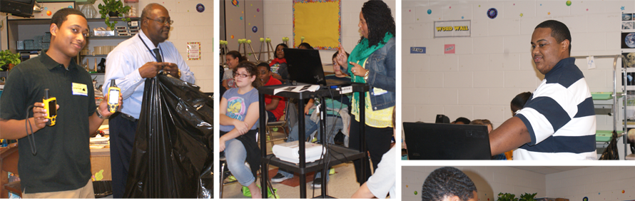
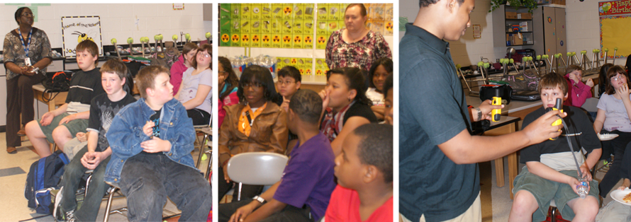
 On November 16, 2011, a very special audience of Elizabeth City Middle School students were privileged to take part in the once a year scientific phenomenon called GIS day. This year GIS Day in Mrs. Wanda Hathaway’s sixth grade science class was a success for both the inquiring middle school students at Elizabeth City Middle School and the presenting graduate students, Patrina Bly, Justin Deloatch, and Michael Jefferson, of Elizabeth City State University, and Education Coordinator for the Center for the Remote Sensing of Ice Sheets (CReSIS) at ECSU, Dr. Darnell Johnson. While there, graduate students of the University challenged their middle school audience to become GIS scientists and explore the world around them. They investigated the many uses of GIS and even provided students with the opportunity for a hand on experience using the Global Positioning System (GPS). On November 16, 2011, a very special audience of Elizabeth City Middle School students were privileged to take part in the once a year scientific phenomenon called GIS day. This year GIS Day in Mrs. Wanda Hathaway’s sixth grade science class was a success for both the inquiring middle school students at Elizabeth City Middle School and the presenting graduate students, Patrina Bly, Justin Deloatch, and Michael Jefferson, of Elizabeth City State University, and Education Coordinator for the Center for the Remote Sensing of Ice Sheets (CReSIS) at ECSU, Dr. Darnell Johnson. While there, graduate students of the University challenged their middle school audience to become GIS scientists and explore the world around them. They investigated the many uses of GIS and even provided students with the opportunity for a hand on experience using the Global Positioning System (GPS).
The goal the GIS Day visit to Mrs. Hathaway’s classroom was to get students thinking about existing technology, and ideally, get them thinking about a career path they might have overlooked. GIS is a field that requires a combination of science, technology, engineering and mathematics. In Europe and other countries they are exposing students to science and the United States needs to be proactive as well. If only a few students from Elizabeth City Middle School developed an interest in the STEM fields, this class visit would be considered a total success for the city, community, country, and world. |
 |
|

 Center of Excellence in Remote Sensing Education and Research