DNIMAS Computer Science Major
Norfolk State University

DNIMAS Computer Science Major

Throughout my tenure as an undergraduate student, I've received internship oppurtunities every summer. During these segmented periods of research & learning, I have accomplished numerous tasks.

Mentor: Dr. Malcolm LeCompte
First published paper for, my partner, Donquel Davis and I.

Research Poster for project

Research PowerPoint file available

Mentor: Dr. Theresa Damiani, NGS
This document displays the work I started for the National Geodetic Survey where I used MATLAB to design a 2D model of the Puerto Rico and Virgin Islands' topography and bathymetry in order to provide a better understanding of the geologic composition in that location.

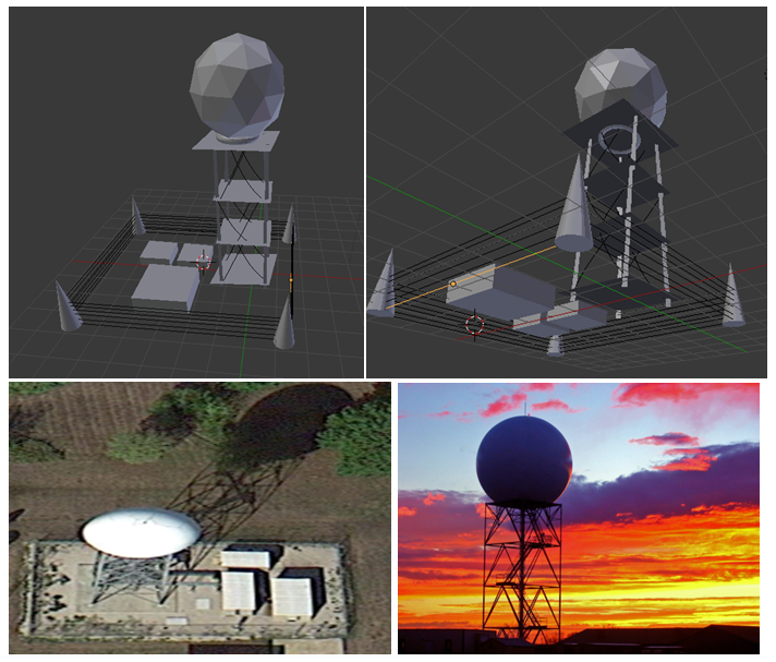
CreativeCorner

Detailed descriptions of tasks performed and learned for Summer of 2012 & Summer of 2013

Research Experience for Undergraduates in Ocean, Marine, and Polar Sciences -
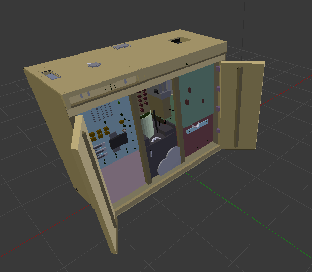
Culpeper Rebellion Archaeology Team
Elizabeth City State University
(May 29, 2012 – July 20, 2012)
National Oceanic and Atmospheric Association Educational Partnership Program
National Geodetic Survey
(May 21, 2013 - August 3, 2013)


 AboutMe
"Be a man of value, not success. Success is for those with limits..."
I'm glad you've enjoyed my site, below is my contact information.