Home
 Click
here to
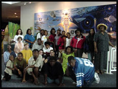
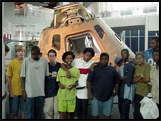
view the closing meeting at the Virginia Air & Space Center! Click
here to
view the closing meeting at the Virginia Air & Space Center!
  
YBTS Summer Program at W. E. Waters Middle School
You Be
the Scientist with Satellite Imagery in EZ/EC Communities
You Be the Scientist with Satellite Imagery in EZ/EC Communities
is a student enrichment project for 6 targeted middle schools
located in the economic empowerment zone communities of Portsmouth,
Virginia and Halifax, North Carolina. The student enrichment component
is designed to support extra curricular science activities structured
to maximize awareness of and utilization of GOES satellite data
to meet core Earth Science learning objectives and to develop
marketable skills in the area of computer technology. The You
Be The Scientist program launches students into the 21th century
with organized integrated science and technology educational enrichment
activities.
The program also includes a component which exposes students to
a variety of careers available in research, data analysis, applications,
and computer visualization. NASA educational sites, which provide
a wealth of resources on science careers and Earth System Science
Concepts, are integrated into the career component.
Implementing this project is Elizabeth City State University (ECSU),
at which the MU-SPIN Office of Goddard Space Flight Center has
established a Network Resources and Training Site (NRTS). ECSU
brings satellite imagery to middle schools in its region in an
effort to enhance the study of mathematics and science by underrepresented
minority students. The program is designed to aggressively strengthen
the current Earth System Science (ESS) outreach to EZ/EC middle
schools by GSFC and the ECSU-NRTS.
The
YBTS academic year program begins Oct. 29, 2001 and continues
through April 2002. Students will still learn the fundamentals
of satellite imagery, however, the program will be structured
this year so that schools that do not have the GVAR server will
be able to participate. Internet access must be available to the
YBTS teachers and students.
| 
